
Aerial and Drone Photography in Lake Villa, IL
Showcase your property from an entirely new perspective with HAPI Photography’s professional Aerial and Drone Photography in Lake Villa, IL. We provide high-resolution aerial imaging for homeowners, real estate agents, developers, builders, property managers, and businesses looking to present properties with stunning overhead views.
Request Your Photography Session
Request Your Photography Session
Reveal the Full Story of Your Property from Above
An aerial photo can, in seconds, convey location, property lines, landscaping, amenities, and architectural design. The buyer and the investor want to know a property’s surroundings completely before they visit. Ground-level photos are vital, but they don’t always give you the context you need to evaluate a property’s value truly.
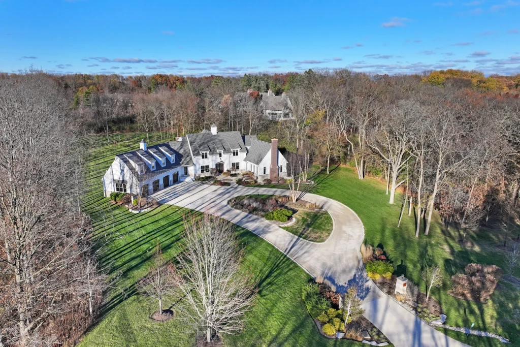
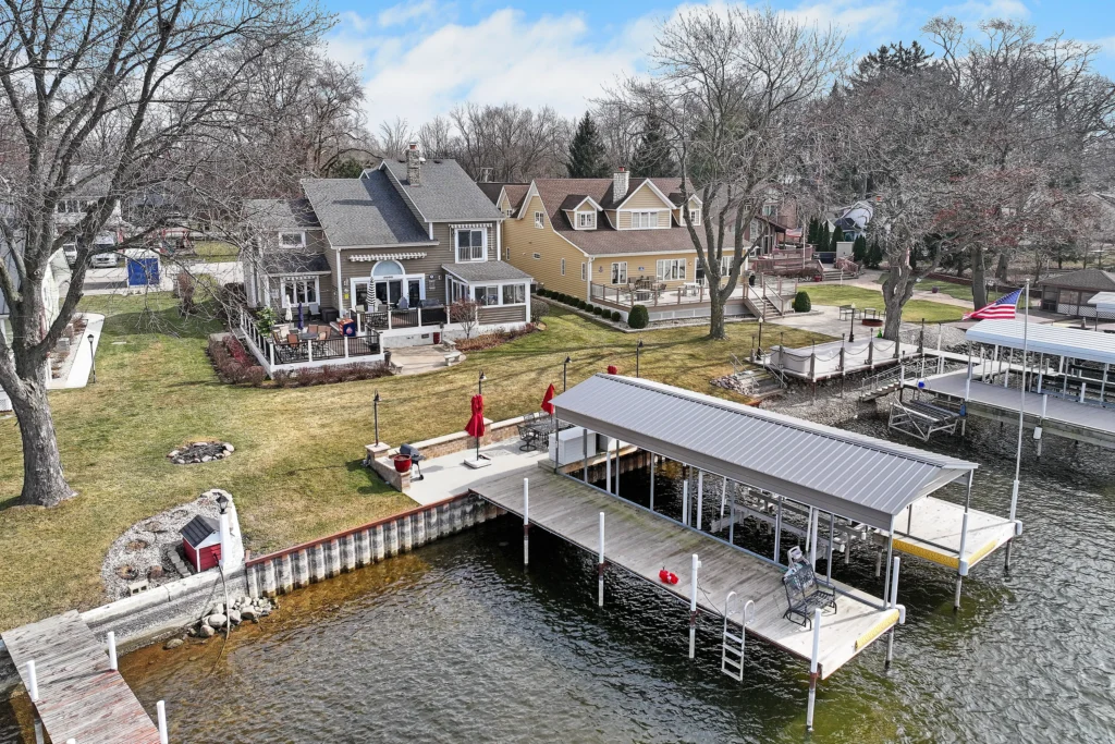
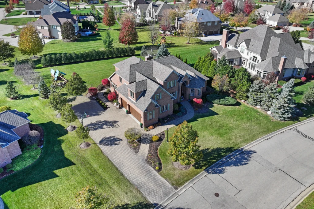
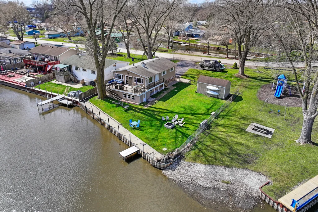
HAPI Photography delivers professional drone photography in Lake Villa, IL, using advanced drone technology and carefully planned flight paths. Every image is captured with precision to showcase expansive lots, waterfront access, neighborhood appeal, outdoor living spaces, parking areas, and surrounding landscapes. Our aerial images help listings attract more online attention while giving potential buyers greater confidence in what they’re viewing.
Create Stronger Listings with Stunning Aerial Perspectives
Aerial photography gives you the visual edge, whether you are selling a family home or marketing a commercial venture – making your listing stand out from the crowd. These elevated views help purchasers get a better sense of the property’s size, accessibility, neighboring attractions, and general curb appeal, while also making for more interesting web presentations.
Our seasoned staff will design each fly based on the property layout, weather, lighting, and marketing goals. Through our aerial real estate photography in Lake Villa, IL, we capture striking overhead images that highlight architectural features, surrounding neighborhoods, natural scenery, and property boundaries. Every session is designed to deliver professional marketing assets that elevate your listing and leave a lasting impression on prospective buyers.
- Architectural Features
- Surrounding Neighborhoods
- Natural Scenery
- Property Boundaries
Professional Drone Photography Without the Hassle
Taking high-quality aerial imagery goes beyond merely flying a drone. Operating safely, planning well, assessing the weather, complying with the law, and composing your image are all vital ingredients to generating excellent results. Without expert knowledge in aerial photography, you may end up with poor pictures and unnecessary delays.
Our local drone photography Lake Villa, IL service simplifies the entire process. From planning the flight path to professionally editing every photograph, we handle every detail with care. You receive crisp, professionally enhanced aerial images that accurately represent your property while saving valuable time and effort.
Photos ready for
- MLS Listings
- Business Websites
- Digital Advertising
- Brochures
- Social Media Marketing
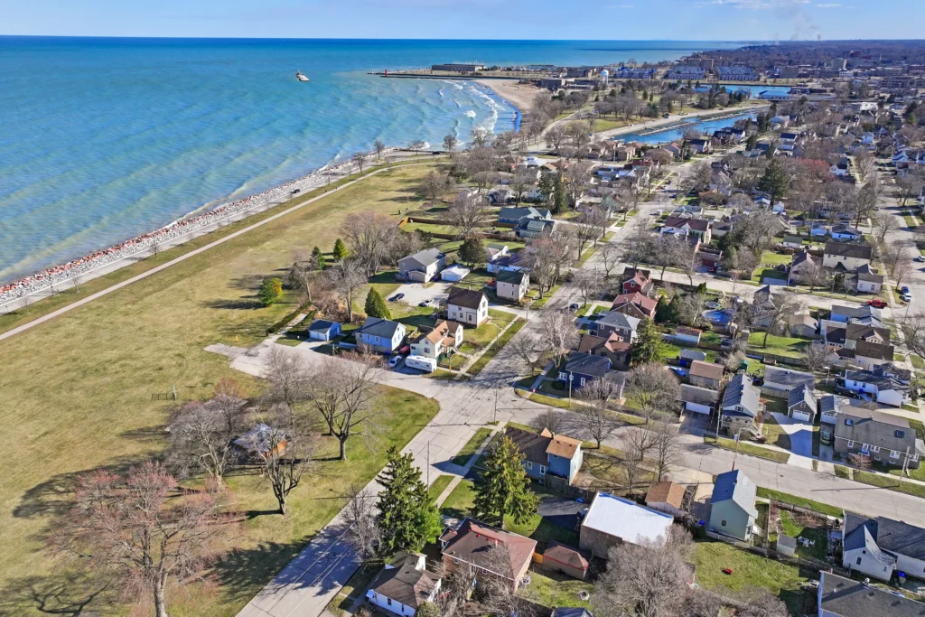
How We Work
Our streamlined workflow ensures safe operations, exceptional image quality, and a smooth client experience.
Property Consultation
We discuss your property, photography objectives, preferred angles, and intended marketing use before scheduling the session.
Flight Planning & Site Evaluation
Our team reviews the property layout, surrounding environment, weather conditions, and lighting to prepare a safe and efficient drone flight.
Professional Drone Photography
Using high-quality drone equipment, we capture stunning aerial photographs from multiple elevations and perspectives to showcase your property.
Image Editing & Delivery
Every aerial image is professionally enhanced for brightness, clarity, color balance, and sharpness before being delivered in high-resolution formats ready for immediate use.
Why Property Owners Choose HAPI Photography
We are committed to delivering aerial photography that combines technical expertise, creative vision, and dependable service for every project.
FAA-Compliant Drone Operations
Our drone flights are carefully planned and conducted with safety, professionalism, and regulatory compliance in mind, giving clients confidence throughout the entire photography process.
Customized Aerial Photography Solutions
Every property is unique, which is why we tailor each drone photography session to showcase its architecture, landscape, surroundings, and most valuable selling features.
High-Resolution Image Enhancement
Every aerial photograph is professionally edited to improve exposure, contrast, color accuracy, and overall clarity while maintaining a natural, realistic appearance.
Trusted Local Photography Professionals
Property owners, real estate agents, developers, and businesses throughout Lake Villa, IL, rely on our consistent quality, responsive communication, and reliable turnaround times.
Services We Provide
HAPI Photography provides professional drone imaging solutions for a wide variety of residential and commercial properties.
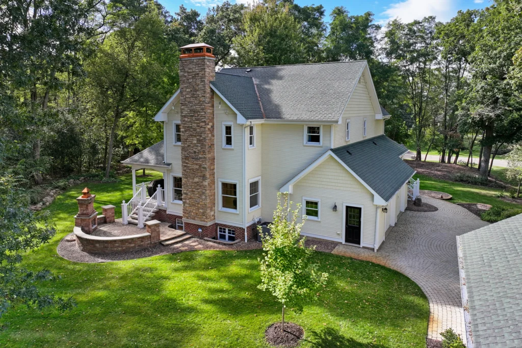
Residential Drone Photography
To help real estate listings stand out in today’s competitive market, our residential drone photography Lake Villa, IL service gets breathtaking aerial shots of homes, luxury estates, waterfront properties, vast lots, and neighboring neighborhoods.
Residential Drone Photography
To help real estate listings stand out in today’s competitive market, our residential drone photography Lake Villa, IL service gets breathtaking aerial shots of homes, luxury estates, waterfront properties, vast lots, and neighboring neighborhoods.
Serving Lake Villa, IL and surrounding communities.

Commercial & Investment Property Photography
Commercial developments, apartment complexes, hotels, shopping malls, office buildings, and other types of commercial real estate can benefit from our expert aerial photography in Lake Villa, IL. This photography helps to attract potential tenants, investors, and buyers.
Serving Lake Villa, IL and surrounding communities.
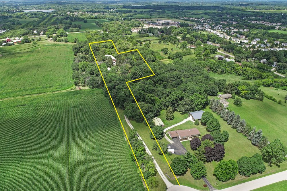
Land, Development & Construction Photography
Track construction progress, identify open land, record development projects, and display investment assets with precise aerial images that stress property lines, access, and nearby infrastructure.
Land, Development & Construction Photography
Track construction progress, identify open land, record development projects, and display investment assets with precise aerial images that stress property lines, access, and nearby infrastructure.
Serving Lake Villa, IL and surrounding communities.
Contact Us Today
Want to exhibit your house from a breathtaking new angle?
HAPI Photography offers excellent aerial photography services for residential houses, business buildings, construction projects, land listings, waterfront properties, and investment ventures around Lake Villa, IL. Our expert drone photographers provide spectacular photos to make your properties stand out on MLS listings, business websites, digital advertising, brochures, and social media marketing.
What Our Clients Say
“The aerial photos gave our listing a completely different level of professionalism. Buyers immediately noticed the property’s location and outdoor features, and we received significantly more interest online.”
“HAPI Photography delivered exceptional drone images that perfectly showcased our commercial property. The quality, communication, and turnaround exceeded our expectations.”
Areas We Serve
HAPI Photography is proud to offer quality Aerial and Drone Photography in Lake Villa, IL, to homeowners, real estate agents, builders, developers, property managers, architects, and businesses in Lake Villa and surrounding areas.
Frequently Asked Questions
Answers to the questions property owners, agents, and developers in Lake Villa ask us most about drone photography. Still unsure? Give us a call and we will talk you through it.
What properties can be photographed using drones?
We shoot residential residences, commercial buildings, vacant lots, construction sites, apartment communities, waterfront properties, farms, and development projects.
Is drone photography beneficial for real estate listings?
Yes. Professional aerial photography enhances real estate listings by providing buyers with a better view of the property’s dimensions, layout, surroundings, and community amenities.
Are your drone flights conducted safely and legally?
Absolutely. We follow applicable FAA regulations and industry best practices to ensure every drone flight is performed safely and responsibly.
Can aerial photography be combined with traditional real estate photography?
Yes. Many clients choose to combine ground-level photography with aerial images to create a complete marketing package that showcases every aspect of the property.
How quickly will my aerial photographs be delivered?
After the photography session, we professionally edit each image and deliver high-resolution files promptly, allowing you to begin marketing your property without unnecessary delays.
Aerial and Drone Photography in Lake Villa, IL
Contact us today to schedule your professional aerial photography session in Lake Villa, IL.